We have three maps of the Dubai Metro system.
The first is a schematic map. This is a simplified map that shows the stations on both the Red Line and Green Line. It also shows the transport zones that the stations lie in. The zone information is useful for calculating fares.
The second map is interactive. This shows the actual locations of all the stations on both lines, plus the transport zones. It also shows the route of the Dubai Tram system, the Palm Monorail, hotels, shopping malls, and tourist attractions.
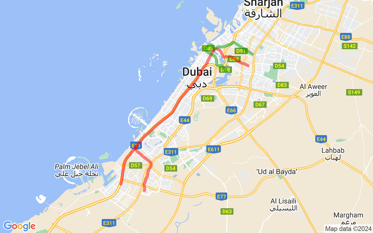
The third is an overlay map. The Red Line and Green Line are shown overlaid on a map of Dubai.
Schematic Map
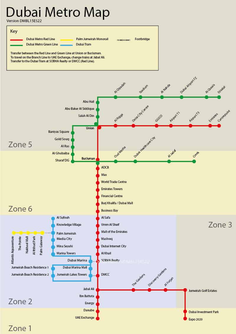
Please note that the following stations have now been renamed:
- Al Fahidi – Renamed Sharaf DG in 2020
- Al Jafiliya – Renamed Max in 2021
- Al Karama – Renamed ADCB (Abu Dhabi Commercial Bank) in 2014
- DAMAC Properties – Renamed Dubai Marina in 2020 and SOBHA Realty in 2021
- Jebel Ali – Renamed UAE Exchange in 2015
- First Abu Dhabi Bank – Renamed Umm Al Sheif in 2020
- Jumeirah Lakes Towers – Renamed DMCC (Dubai Multi Commodities Centre) in 2018
- Khalid Bin Al Waleed – Renamed BurJuman in 2012
- Nakheel – Renamed Al Khail in 2020
- Nakheel Harbour and Tower – Renamed Jabal Ali in 2020
- Noor Bank – Renamed Al Safa in 2020
- Palm Deira – Renamed Gold Souq in 2020
- Rashidiya – Renamed Centrepoint in 2021
- Sharaf DG – Renamed Mashreq in 2020
Interactive Map
Click here to see our interactive map of the Dubai Metro.
